

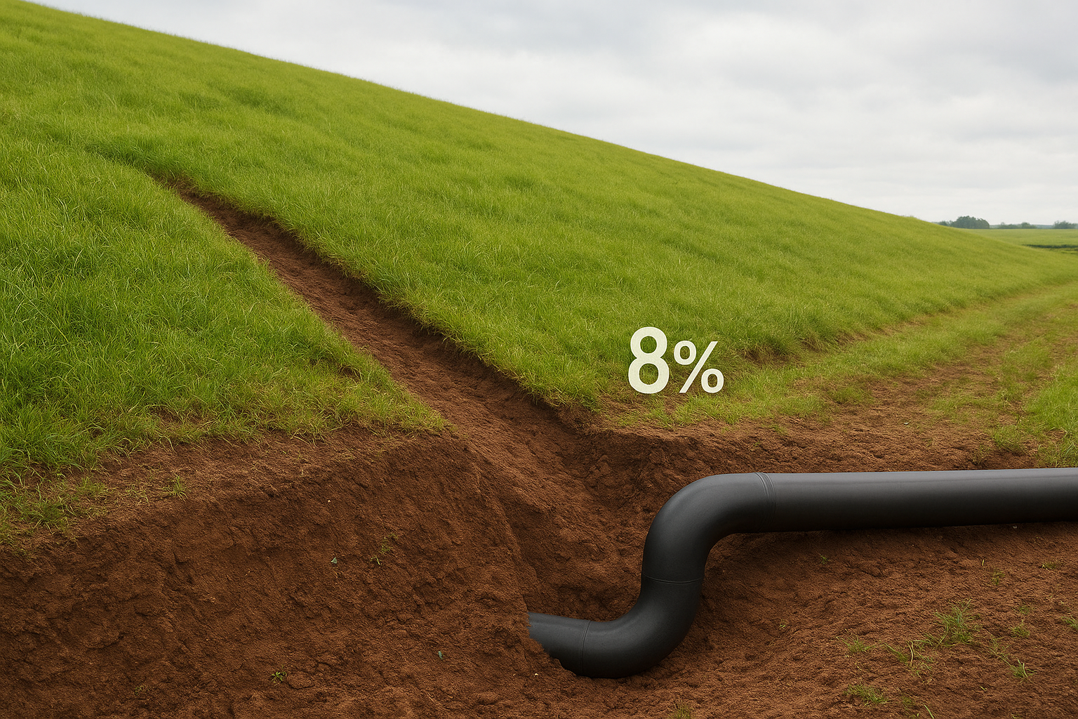
SEWER PLAN
A technical drawing that illustrates the routing, slope, and connection points of underground sewer lines.
It ensures proper wastewater flow, compliance with municipal standards, and seamless coordination with other utility systems.
How it works

Survey & Site Data Collection
Benefits
Survey & Site Data Collection
✅ Accurate slope design – prevents blockages and future repairs
✅ Code compliance – avoids delays with city inspections
✅ Efficient wastewater management – long-term functionality
✅ Integrated planning – coordination with other utilities
Survey & Site Data Collection
Survey & Site Data Collection